 vesseltracker.com
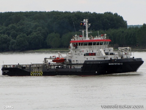
Vessel MANGYSTAU 2 IMO: 9560120, MMSI: 316999999 Tug
Live AIS position:
UTC. 11 nm E of Maces Bay),
updated 2025-12-18 16:03:01 UTC.
Find the position of the vessel MANGYSTAU 2 on the map. The latter are known coordinates and path.
marine traffic ship tracker show on live map
The current position of vessel MANGYSTAU 2 is 45.11602 lat / -66.21905 lng. Updated: 2025-12-18 16:03:01 UTCCurrently sailing under the flag of Canada
MANGYSTAU 2 built in 2010 year
Deadweight:
743 tDetails:
Last coordinates of the vessel:
2025-12-18 16:03:01 UTC, 45.11602, -66.21905, course: -1, speed: 6.2